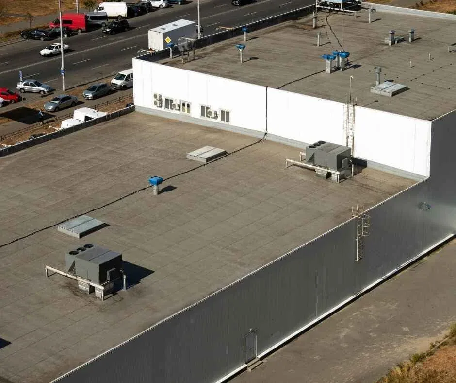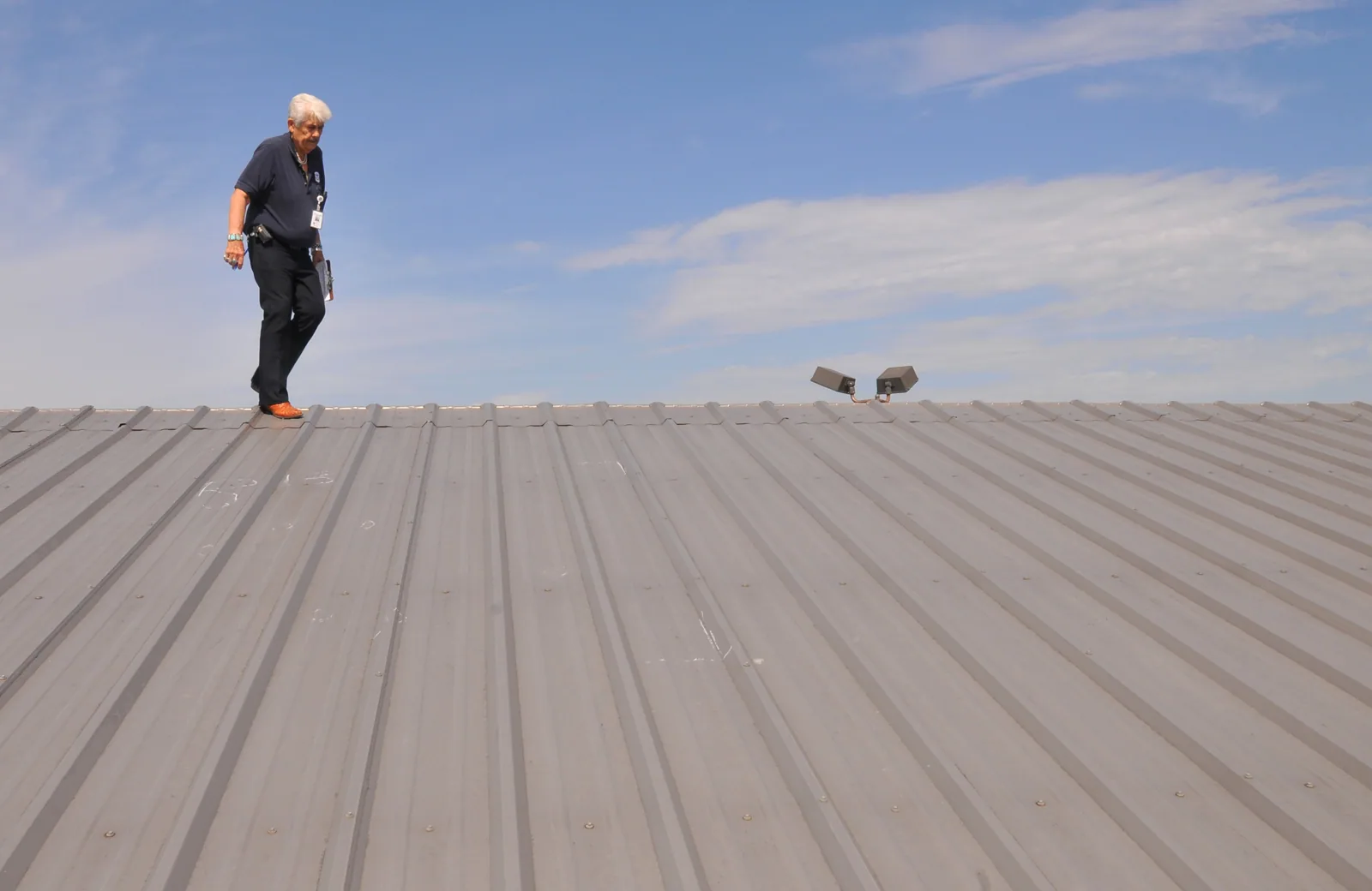
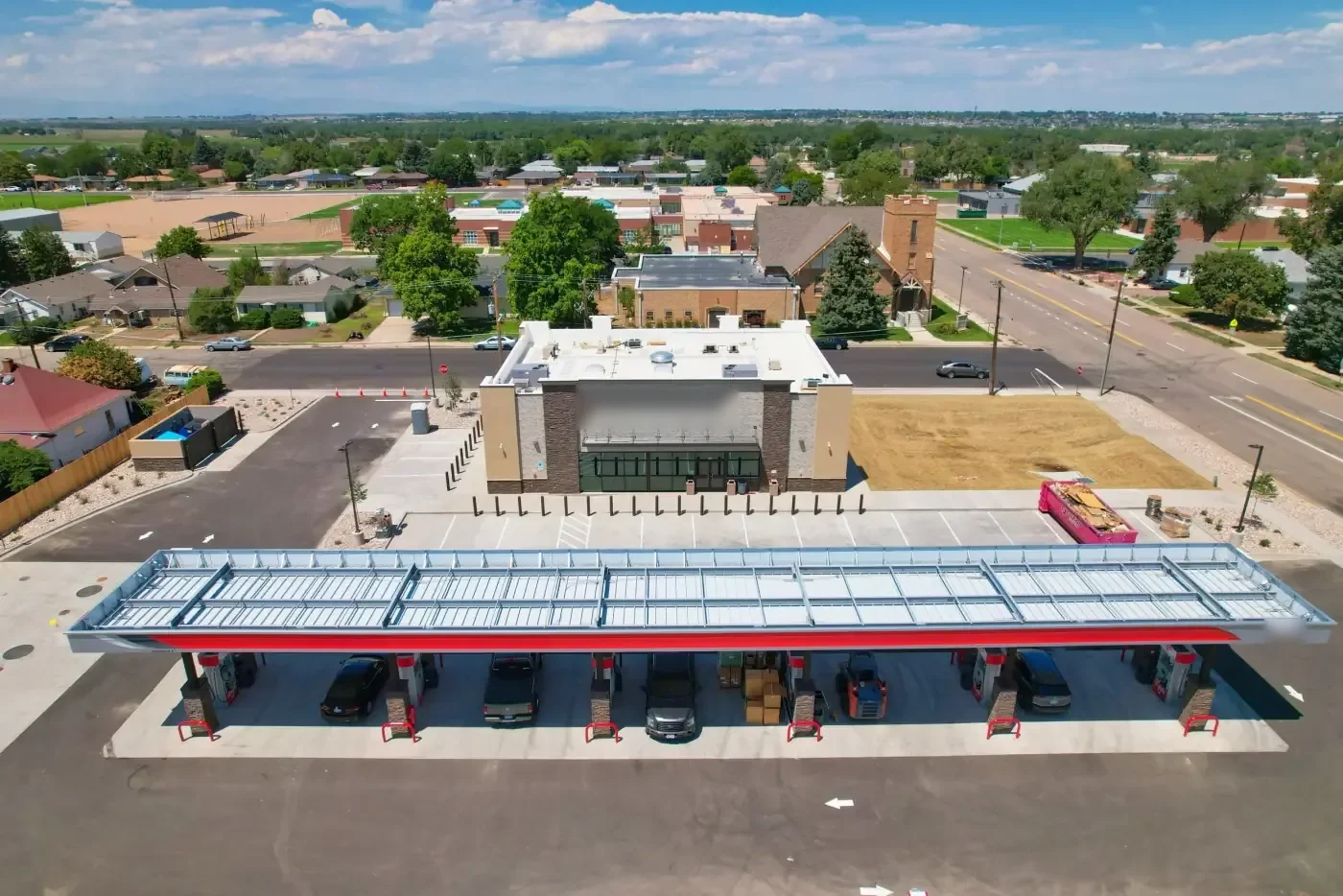
Overhead images can make a large roof easier to understand before anyone plans close access. We use drone imaging to review roof geometry, locate visible debris or ponding, document equipment layouts, and help organize a follow-up walk. It is especially useful when the roof has broad sections or areas that are difficult to approach safely. The images do not confirm membrane adhesion, moisture below the surface, or a hidden opening. We pair them with the building records and the decision behind the inspection. Carmel's office concentration along U.S. 31 and Meridian includes multi-building properties where access and roof layout can vary from one structure to the next. We assess each roof separately and identify which findings need hands-on verification. Regional snowfall and precipitation normals add seasonal context, but imagery alone cannot tell whether a specific roof is dry or ready for work. Our commercial inspection service combines aerial context with physical checks where access allows.
A drone view helps place visible conditions on a roof map. That context helps plan the route and identify where a close look may help. Images can also help an owner compare roof sections across a portfolio, especially when the building list includes several elevations or connected structures.
The flight plan follows the property and conditions. We confirm the site contact, access boundaries, overhead hazards, active operations, and weather before launching. Wind, precipitation, low visibility, or restricted flight areas can change the plan. If the conditions are unsuitable, we reschedule or use another inspection method rather than treating an incomplete image set as a full review.
Carmel City Center and Midtown are mixed-use parts of the city's central core. That context can mean different roof access and operating constraints across nearby buildings, but no district fact establishes a particular roof's system or condition. We coordinate with the property manager and identify the structure, roof sections, and permitted flight area before collecting images.
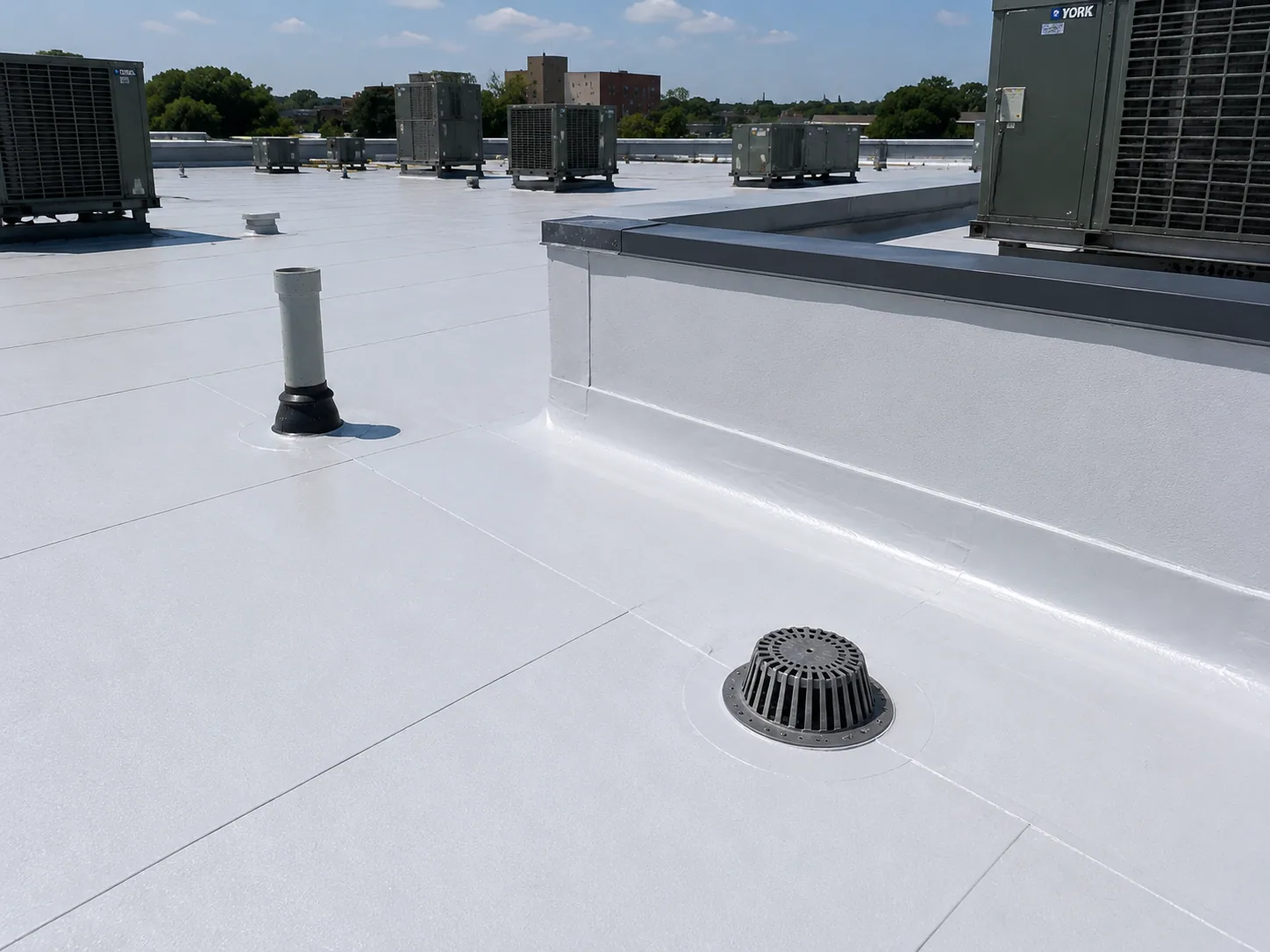
From above, we look for patterns that deserve closer review: standing water, drain obstructions, displaced materials, debris accumulation, visible membrane openings, and changes in surface color. A change in color alone does not prove a leak or moisture. Shadows, surface temperature, roof age, and material variation can affect the image. We mark what is visible, then compare it with ground observations, maintenance records, and any interior reports.
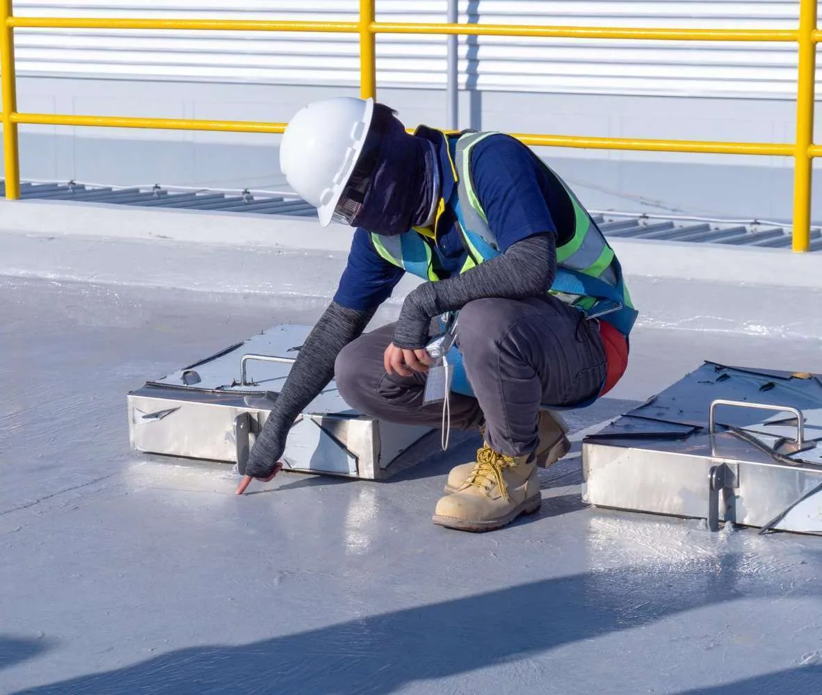
Images are not a substitute for touching a seam or testing an assembly. Adhesion, fastener security, flashing termination, and soft insulation require close access or an appropriate test. A drone can show that a curb or skylight sits in a potential water path, but it cannot confirm whether the flashing is bonded or concealed moisture is present. When a suspected defect affects the repair decision, we schedule hands-on inspection or targeted testing.
Where weather has left pooled water, we capture its location in relation to drains and roof slope. That can help the crew plan a drainage check, but the image may not show how long water has stood or whether the surface is level. We document the conditions at the flight time and return for a different view if necessary. For active water entry, a direct leak investigation remains the next step.
Images are most useful when the owner can tell which building and section they show. We label files by structure and orientation, then tie the image set to a roof map or site plan when one is available. We note capture date, weather, visible obstructions, and areas the drone could not reach. That record lets a later site walk focus on the correct drain, seam, or equipment zone instead of repeating a broad survey.
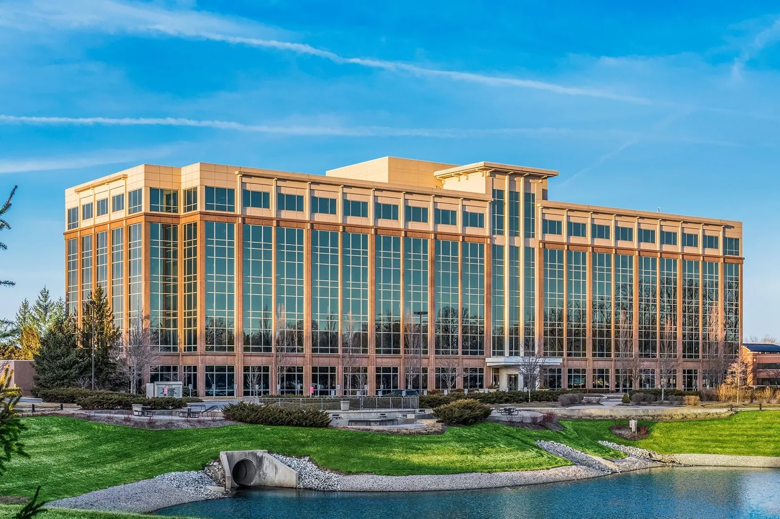
At Parkwood Crossing, several office and mixed-use buildings share a larger commercial area with structured parking. Aerial context can help plan access, while the property contact confirms the flight boundary and roof details. We do not assume every structure has the same layout or operating constraints. If a building has a loading yard or occupied roof area, the access plan accounts for that specific site.
We separate image observations from confirmed repair findings. A visible obstruction can be documented as a maintenance concern, while an apparent seam defect may need close inspection before it is added to a repair scope. If the owner needs more complete condition tracking across properties, a roof condition report can connect the aerial images to hands-on findings, photos, and priorities.
We set the inspection scope around the question. A roof map may be enough to plan maintenance access. A leak or replacement decision needs a closer assessment of membrane, edges, flashing, penetrations, drainage, and moisture. We explain which conclusions the images support and which require direct access. If the roof is unsafe to traverse, we note that limit and discuss alternative views or methods.
Timing depends on flight conditions and property access. Carmel's winter snow and precipitation are regional considerations, and wind or rain can prevent safe image collection. We confirm a suitable window and coordinate with building operations. If a repair is urgent, we prioritize protection and direct inspection rather than waiting for imagery that would not change the response.
Commercial roofs share space with HVAC service, loading, tenant activity, and sometimes scheduled maintenance. We coordinate the flight with the property contact and avoid interfering with normal operations. The flight boundary is limited to the approved property area. We confirm whether roof access, tenant notices, or temporary restrictions are needed before the crew arrives.
Aerial images can support a maintenance plan by establishing a visual reference before seasonal work. Carmel's annual snowfall and precipitation figures are based on nearby Indianapolis normals and are useful as regional planning context. We use them to prompt questions about drain access and winter exposure, not as proof of a problem at one building. The next inspection should compare actual roof conditions with the captured record.
The closeout identifies visible conditions, unobserved areas, and recommended confirmation. We can flag drain cleaning, a close look at a seam, or a follow-up moisture check, but a marked image is not automatically a repair order. The owner gets enough context to decide whether to proceed with testing, schedule maintenance, or request a detailed roof walk.
Where images show potential damage after high winds, we compare them with the roof's prior condition and arrange a hands-on review. A wind-damage assessment can inspect attachment and edge details that overhead photos cannot verify. If repeated findings appear across sections, asset planning can organize them by urgency and capital timing.
Share the building list, the area of concern, and any existing roof plans. We can determine whether drone images will help answer the question, coordinate access, and return a labeled record that supports the next step. For confirmed work, we provide a separate measured scope with the roof details and access assumptions identified.
They can show visible conditions that may relate to a leak, such as debris, ponding, or an apparent opening. Images do not trace water through the assembly or confirm a hidden entry point. We use them to guide hands-on inspection and testing.
No. It provides useful overhead context, but seams, flashing bonds, soft insulation, and attachment need direct inspection or testing. We explain which areas were confirmed and which still require close access.
Wind, rain, snow, poor visibility, or other unsafe flight conditions can delay image capture. We check the conditions and property requirements before the visit. If imagery cannot be gathered safely, we reschedule or use another method.
We label each structure, orientation, and roof section separately. The owner can compare visible conditions across buildings while keeping each inspection boundary and follow-up item attached to its own roof record.
You receive labeled images and a summary of visible conditions, access limits, and items that need confirmation. If the images point to a repair or moisture question, we can define a separate hands-on inspection or testing scope.